
Davris Inc. is a family-owned and operated land surveying and mapping company based in New Port Richey, Florida. Our founder spent over 40 years walking this state's land, building a practice on honest work and relationships that have lasted decades. Today, his son carries that same approach forward as a second-generation Florida surveyor, and the values that started the company are still what guide every project we take on.
We know Florida's terrain because we have spent generations working in it, from the interior flatwoods and wetland corridors to coastal properties and growing subdivisions. Our clients range from homeowners with a single boundary question to engineers managing large development projects, and we treat both with the same level of care and straightforwardness.
Accurate work, clear communication, and delivering when we say we will. That is what people have come to expect from us, and we intend to keep it that way.
From the Field to the Document: Surveying Services
We offer a full range of land surveying and mapping services for residential, commercial, and development clients throughout Florida. If you are not sure what your project needs, contact us and we will point you in the right direction.

BOUNDARY SURVEYS
Establishes the legally defined corners, monuments, and lines of your parcel. Required for property sales, permits, fences, and mortgages.

TOPOGRAPHIC SURVEYS
Documents the elevations and physical features of a site for engineering and development planning.

CONSTRUCTION Layout
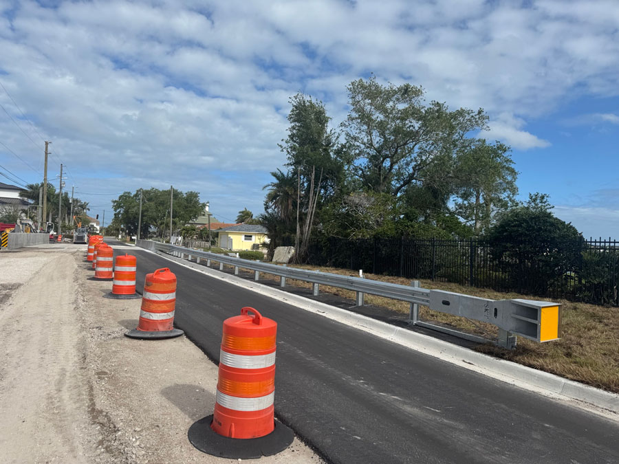
We stake and lay out construction projects using GPS and robotic total stations, so what was designed gets built correctly.

Residential Development and Subdivision Platting
Full scope platting services from initial boundary work through final recorded plat for residential, commercial, and condominium subdivisions.

ALTA/NSPS Land Title Surveys
The survey standard required for commercial real estate transactions is built to satisfy lenders, title underwriters, and attorneys.

Elevation Certificates
Documents your building's elevation for FEMA flood zone compliance and insurance purposes, for both residential and commercial properties.

As-Built Surveys
Confirms that completed construction matches the approved design. We turn these around quickly so your Certificate of Occupancy is not held up.

Drone Surveying
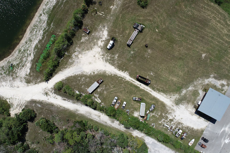
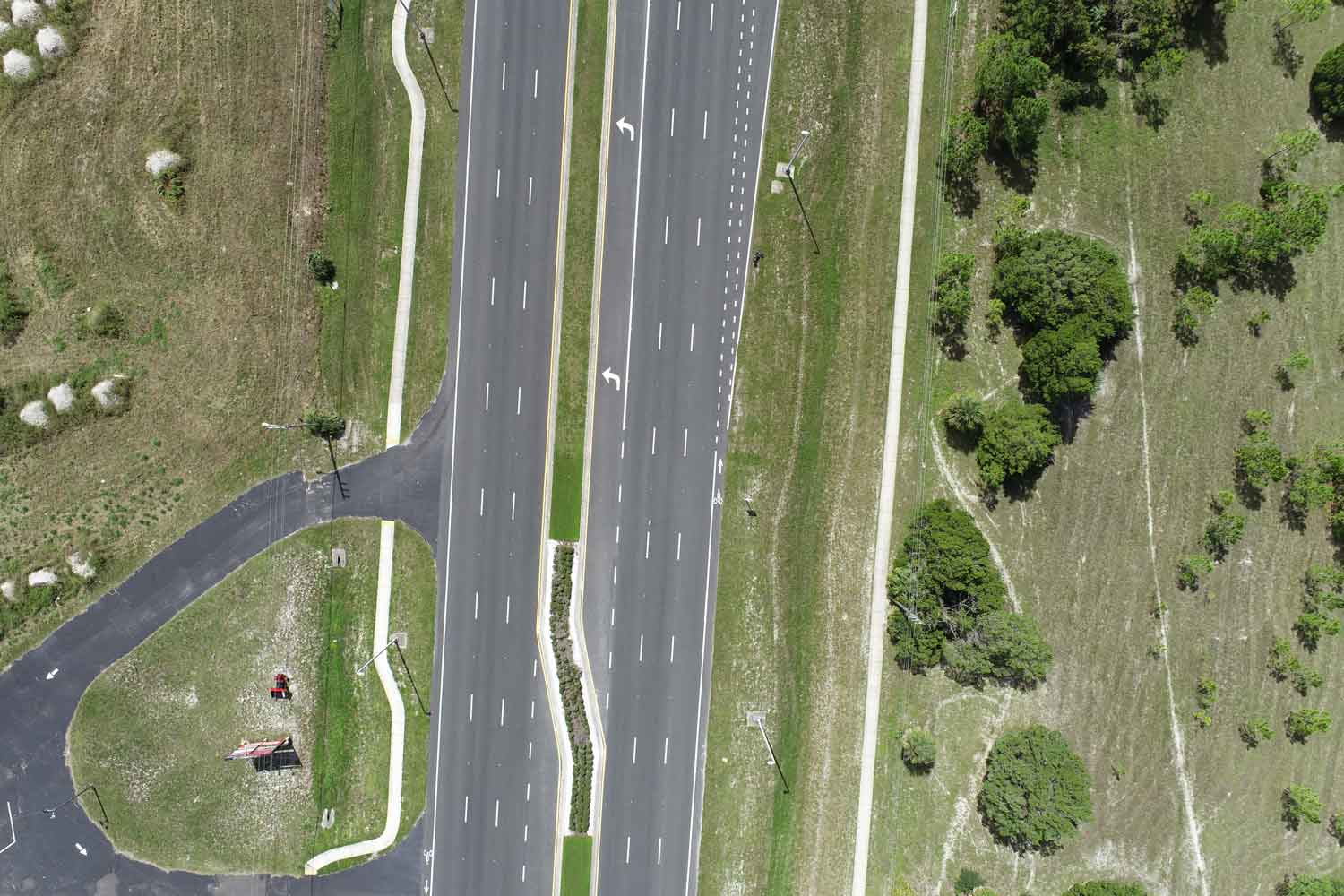
UAV-based aerial mapping that produces accurate maps and 3D models, particularly useful for large tracts or sites with limited ground access.

Bathymetric Surveying
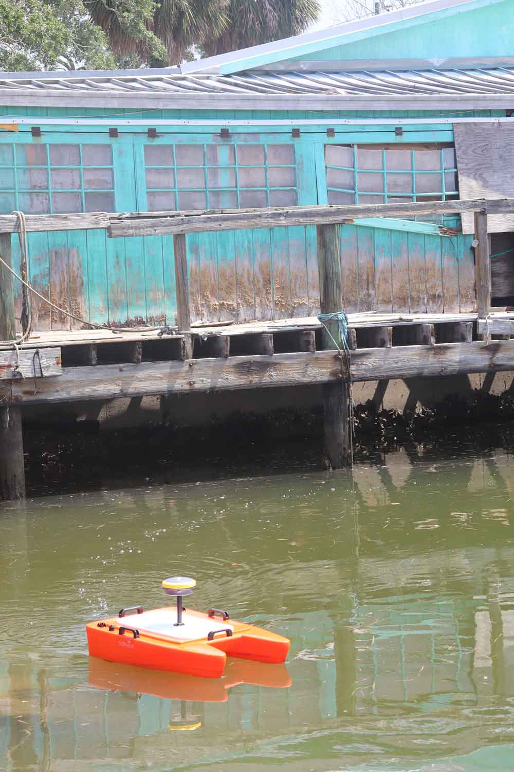
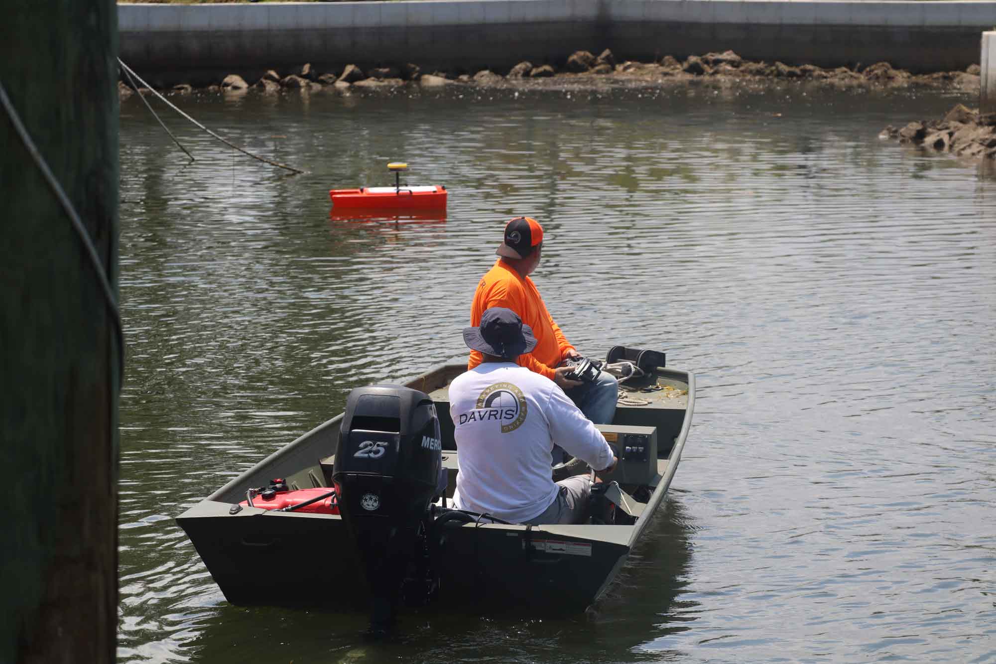
Measures the depth and contour of underwater terrain, including lakes, retention ponds, rivers, and canals, for drainage, permitting, and dredge planning.
Special Purpose Surveys
For projects that do not fit a standard survey type, we scope the work to match exactly what you need.
Frequently Asked Questions About Our Florida Survey Services
We’ve answered a few questions about our survey services. Have even more questions or want more info? Head on over to our FAQs page or contact us for a deeper dive into surveys and more.
How do I know which survey I need?
Many clients are unsure before they call, and that is fine. Tell us what you are trying to do, and we will point you to the right service. We have no interest in selling you more surveys than your project requires.
Do you work outside of Pasco County?
Yes. We work throughout Florida. Contact us, and we can discuss your project and location.
How long does a survey take?
It depends on the type of survey, the size of the property, and how quickly we can access county records. Boundary surveys on standard residential lots can often be completed within a few weeks, while larger or more complex projects can take longer.
What do I need to provide before work starts?
Usually just the property address and your contact information. If you have a prior survey, deed, or title commitment on hand, share it. It helps us work faster, but it is not required to get started. Please visit our contact page and complete as much of the survey order form as you can and we will reach out to you and walk you through the process.
Are you licensed in Florida?
Yes. Davris Inc. is a licensed land surveying and mapping firm operating under Florida statutes. Our work meets all state requirements for recorded surveys, legal documents, and permitting.
What is the difference between a boundary survey and a topographic survey?
A boundary survey defines your property lines. A topographic survey documents the physical features and elevations of the land within those lines. Many projects need both, but not always. We will walk you through what applies to your situation.
Ready to Talk Through Your Project?
When you call Davris Inc., you are talking to the people who will actually do the work. No call centers. No runaround. We have been doing this long enough to give you a straight answer about what your project needs, and we are happy to do that before you ever commit to anything.